[MIRAINOMAP] Filtering SS Kasochi — Towns with Few Gas Stations
MIRAINOMAP now has an SS kasochi filter. The direct link is mirainomap.jp/?ss=1.
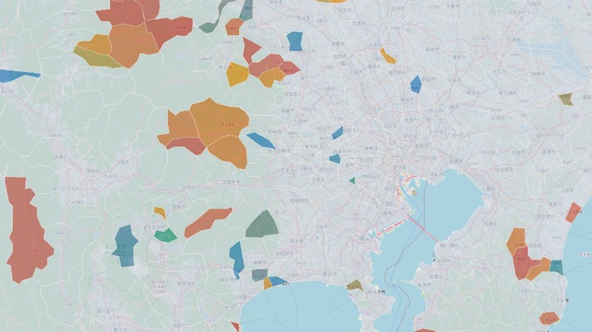
The image above zooms into Kanto. Along Tokyo Bay the urban core stays mostly uncolored; west into the mountains and parts of the Boso Peninsula, the tint returns. It is not only “far from the capital.” Tokyo Metropolis itself has municipalities on the list.
Zoom out and the pattern shifts by region. Hokkaido has many hits; northern Hokkaido (Dohoku) in particular shows SS kasochi stretching across a wide continuous area. A PDF table is hard to read as geography — the map makes the thin corridors easier to see.
What “SS kasochi” means
Japan’s Agency for Natural Resources and Energy (ANRE) publishes municipalities where service stations (SS — gas stations) have become scarce. The definition used here is simple: three or fewer SS inside the municipality. On the list as of March 31, 2025 (Reiwa 7), that is roughly 380 places — the map currently shows 381.
It is not only about filling a car. Heating oil delivery, farm machinery, and other everyday fuel needs sit behind the same thin network. Fiscal and demographic indicators are different axes; fuel access is easy to miss when you only watch population headlines.
The source page is ANRE’s SS kasochi measures. That page also lists municipalities with areas 15 km or more from the nearest SS. MIRAINOMAP’s flag is the “three or fewer SS” cut only.
Why put it on the map
It started on the road. Filming for The Street Archive | MACHIDORI means driving between regional cities, and running low on gas is a regular hassle. After about 9 p.m., even along a national highway, an open station can be hard to find.
SS kasochi as published has no opening-hours cut — a place can still have three stations that simply close early. So the flag is not a one-to-one match for “nowhere to fill up at night.” Still, the sense that stations are thinning out piles up. I looked for who tracks and publishes the picture as it stands. ANRE already lists the municipalities. So I put that flag on MIRAINOMAP’s municipal master.
The product’s core remains measured public stats beside a future-weighted composite that leans on finance and population — comparison, not scare ranking. Fuel supply belongs in that doorway. On the same map as the scorecards, you can keep only places where filling up is thin.
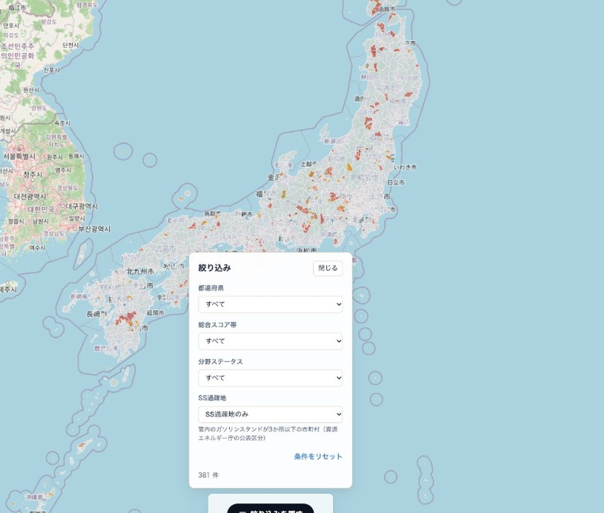
Open Filter, set SS kasochi → SS kasochi only. The condition rides in the URL (?ss=1), so you can share the view. You can still narrow by prefecture or score band on top of that.
What we deliberately don’t do
- No custom “scarcity score” — the boundary follows ANRE’s published category.
- No doom tone — the job is to make the flag visible on a map.
- No mixing with the 15 km list — this flag is “three or fewer SS” only.
Same line as the launch post: not to inflate fear, but to make comparison possible.
How it sits next to street walks
Walking video shows lit shopfronts and closed shutters. It does not tell you how many gas stations remain in the municipality. The SS kasochi filter adds that fuel layer beside the street archive’s “how the night feels.” For the full product story, see the launch post. If a place comes to mind, open it on the SS kasochi map.
Related Posts
Browse the archive map
Explore street videos from cities across Japan on the map.
Open map![[MIRAINOMAP] Making the Future of Local Governments Visible](/images/2026/09/26/1/mirainomap-og.png)